Vertical Farm, Camblesforth
Environmental Planning
Environmental Permitting Consultants
Delta-Simons were commissioned by P3P to undertake works to support a planning application to develop a Vertical Farm unit
Purpose
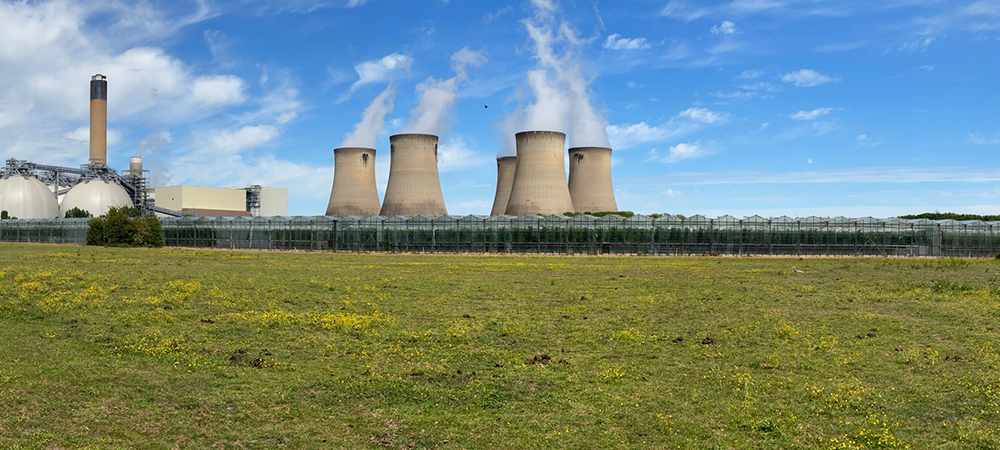
The development was intended to use the sites recently installed low carbon combined heat and power technology to meet its energy demand while enhancing the operational capacity of the technology park. It was proposed that the development would comprise a 0.2 ha vertical farm unit extending from an operational packhouse, associated access, loading bay and CO2 tanks. The site presented several challenges:
- The proposed development was located in Flood Zone 3 on the EA Flood map for Planning;
- EA Flood Maps were considered out of date and not reflective of the actual risk; and
- The Vertical Farm was proposed to be developed over an existing culverted IDB watercourse
Scope of Works
Delta-Simons were appointed to undertake the following assessments to help obtain planning permission for the Vertical Farm operation, using a specialist in-house team and trusted suppliers. An initial site appraisal including a Flood Risk Assessment and Drainage Strategy was produced in the first instance. Following the initial appraisal, it was determined that there was a likelihood that the flood extents which were shown to cover the site in its entirety, were likely exaggerated therefore detailed hydraulic modelling was undertaken to determine the actual risk. Concurrently with the above a strategy for surface water drainage was provided considering all local, physical and policy constraints in consultation with the Lead Local Flood Authority (LLFA), EA and Internal Drainage Board (IDB).
Outcome / Client Benefits
Technical specialists from our in-house Water Services team supported by external specialists delivered the following outcomes and Client benefits:
- Hydraulic Modelling identified flood depths at the Site to be significantly lower than initially identified by the EA;
- Development plans were produced with consideration for the modelling to ensure the Vertical Farm was not at risk of flooding for the lifetime of the proposed development, considering latest Climate Change guidance;
- A Surface Water Drainage Survey identified and mapped the culvert route and key drainage channels on Site;
- A Surface Water Drainage Strategy proposed to divert the culvert from under the Site to a separate drainage ditch and provided a workable solution to surface water management which was agreed in principle by the IDB; and
- Planning permission approved by the EA and the LLFA.
Get in touch with our environmental permitting team for more information about our services.